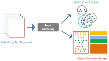
A library for Multi-objective optimization in Gradient Boosted Trees
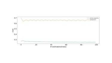
MooGBT is a library for Multi-objective optimization in Gradient Boosted Trees. MooGBT optimizes for multiple objectives by defining constraints on sub-objective(s) along with a primary objective. The constraints are defined as upper bounds on sub-objective loss function. MooGBT uses a Augmented Lagrangian(AL) based constrained optimization framework with Gradient Boosted Trees, to optimize for multiple objectives. With AL, we introduce dual variables in Boosting. The dual variables are iteratively optimized and fit within the Boosting iterations. The Boosting objective function is […]
Read more