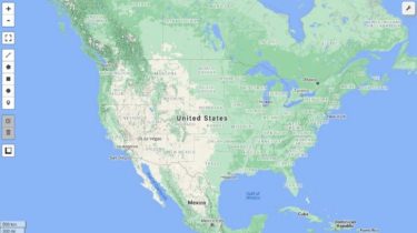
A Python package for interactive mapping and geospatial analysis with minimal coding in a Jupyter environment
A Python package for geospatial analysis and interactive mapping in a Jupyter environment. Introduction Leafmap is a Python package for interactive mapping and geospatial analysis with minimal coding in a Jupyter environment. It is a spin-off project of the geemap Python package, which was designed specifically to work with Google Earth Engine (GEE). However, not
Read more